Forest or farm? Google AI maps the difference in 10-meter pixels
3-line summary
- Google researchers, WRI and IIASA released ForTy 2020, distinguishing six forest and land-use types.
- The baseline represents 2020 and covers land from 65 degrees south to 84 degrees north.
- An early 2017–2025 change series is also out; 10-meter pixels do not guarantee site-level accuracy.
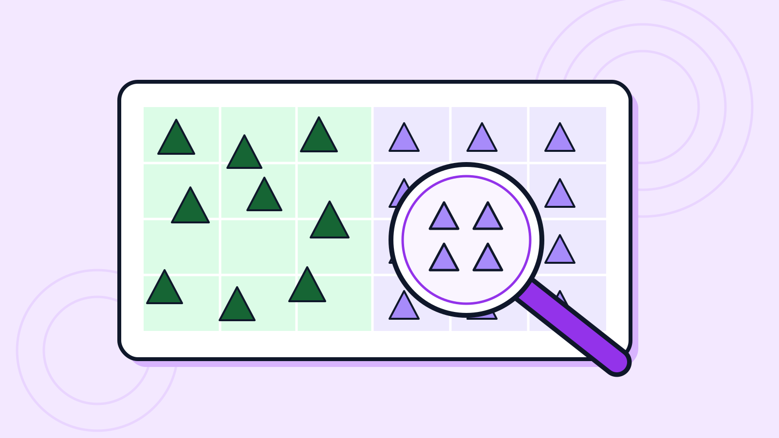
On October 22, Google DeepMind and Google Research announced ForTy 2020 with WRI and IIASA. Its six classes distinguish primary, naturally regenerating and planted forests, intensive plantations, tree crops and agroforestry, and other land.
Google says the model uses AlphaEarth Foundations satellite summaries. Its early 2017–2025 annual series tracks what replaces disappearing forests.
The data catalog specifies a 2020 baseline covering land between 65 degrees south and 84 degrees north. It warns of confusion among forest classes and of shaded cocoa or coffee farms being mistaken for natural forest. Class probabilities are not calibrated after training, so they should not be treated as definitive site-level risk probabilities.
Why it matters
AI Ping's assessment is that distinguishing changes in land use adds value beyond counting tree cover. Supply-chain or conservation decisions still call for local reference data and an assessment of how classification errors affect the decision.
Who it's for
- Developers
- Examine class probabilities and regional errors before reducing the data to a single categorical map.
- Office workers
- Environmental and procurement teams should check the reference year and coverage against actual land-use records.
Sources
- Beyond tree cover: mapping the world’s forest types — Google DeepMind
- Forest Typology (ForTy) 2020 v1.0 — Google Earth Engine Data Catalog